The heaving southern megalopolis of 26 million people is our final brief stop over of the trip. Arriving at 4 am it is hot and steamy. Everywhere there are people and I am instantly reminded of the hassles of travelling through the most populous country on the planet.
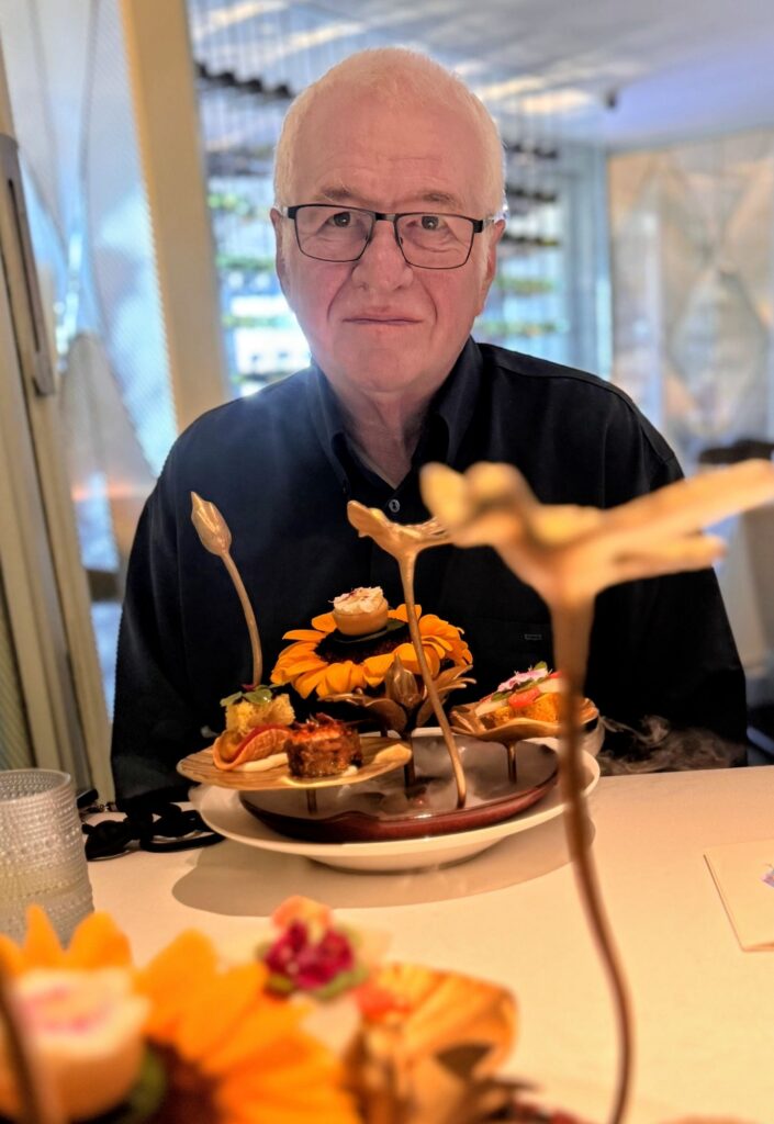
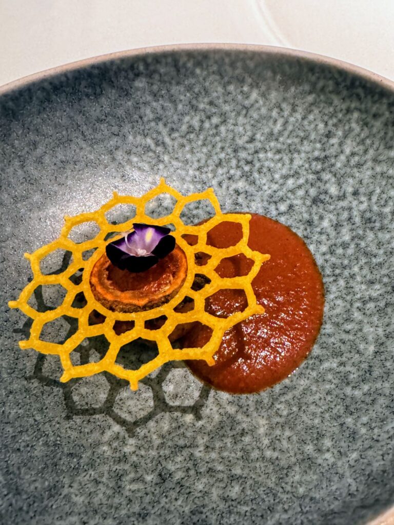
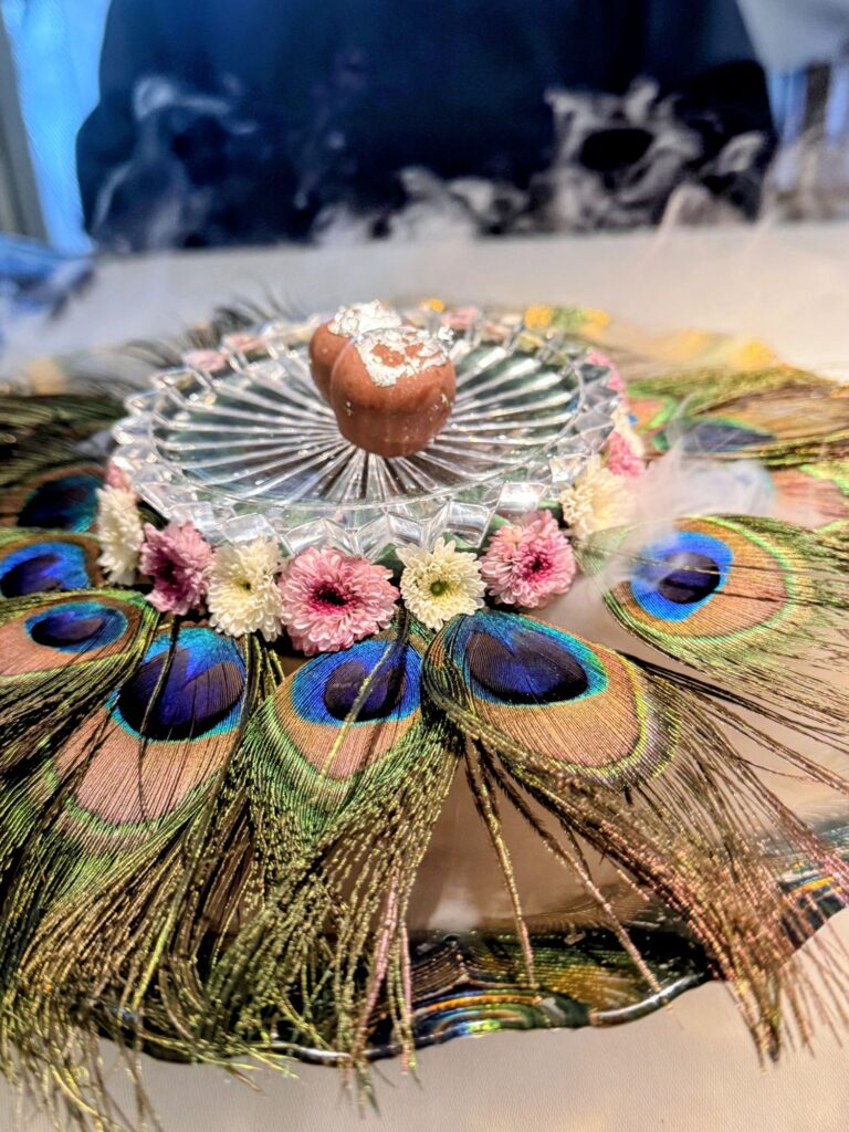
We grab a few precious hours of sleep before fronting up to Avatara a Michelin recommended restaurant (yes here in Bombay!). Vegetarian, they present an 11 course (in reality actually 16 courses) degustation menu with an interesting Indian wine pairing. It is a feast for all the senses.

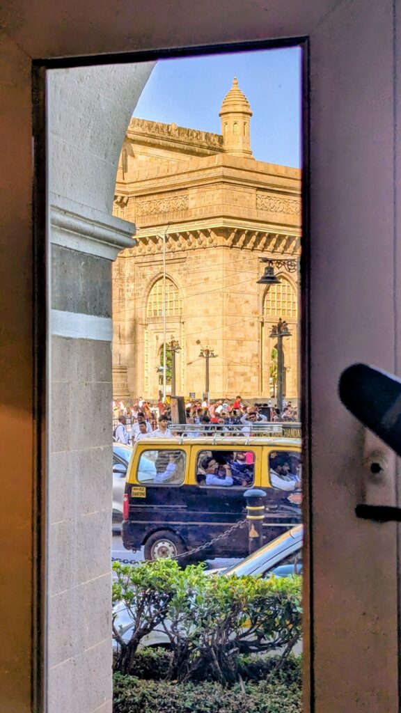
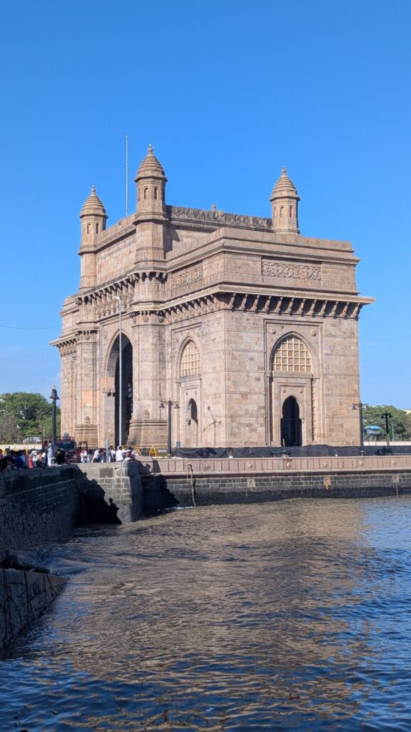
A 50 minute UBER takes us to Southern Mumbai and the arch-monument, the Gateway of India. Completed in 1924 it was erected to commemorate the landing of King George V for his coronation as Emperor of India. In a scene typical of India hundreds of people surround the monument, all locals, not doing anything purposeful.
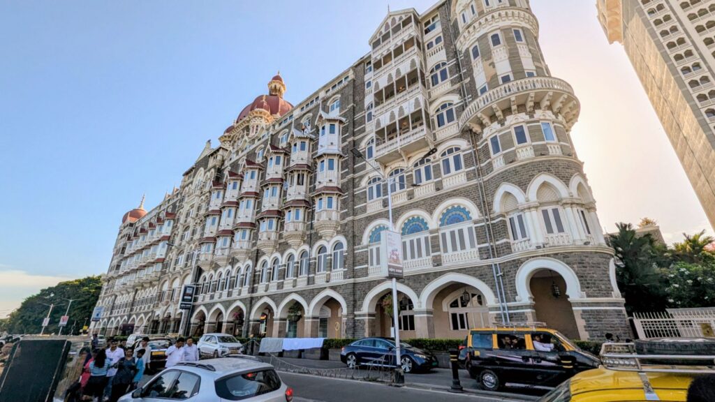
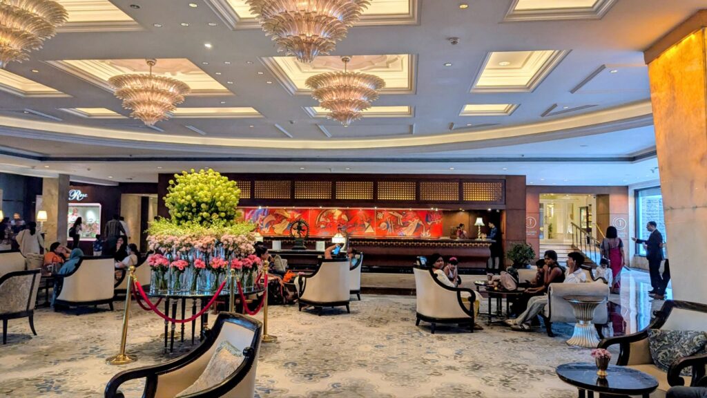
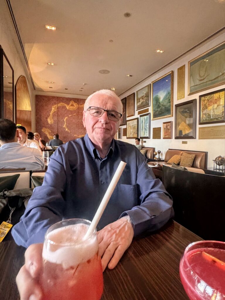
We finish at the Taj Palace Mumbai hotel. Opened in 1903 on the waterfront overlooking the Arabian sea the architecture is an interesting blend of Islamic and Renaissance styles. More recently in 2008 it was the target of a terrorist multiday siege. We indulge in a couple of signature cocktails before our flight home.